
 ES
ES  EN
EN 
INTERACTIVE ICELAND MAP OF TOP ATTRACTIONS
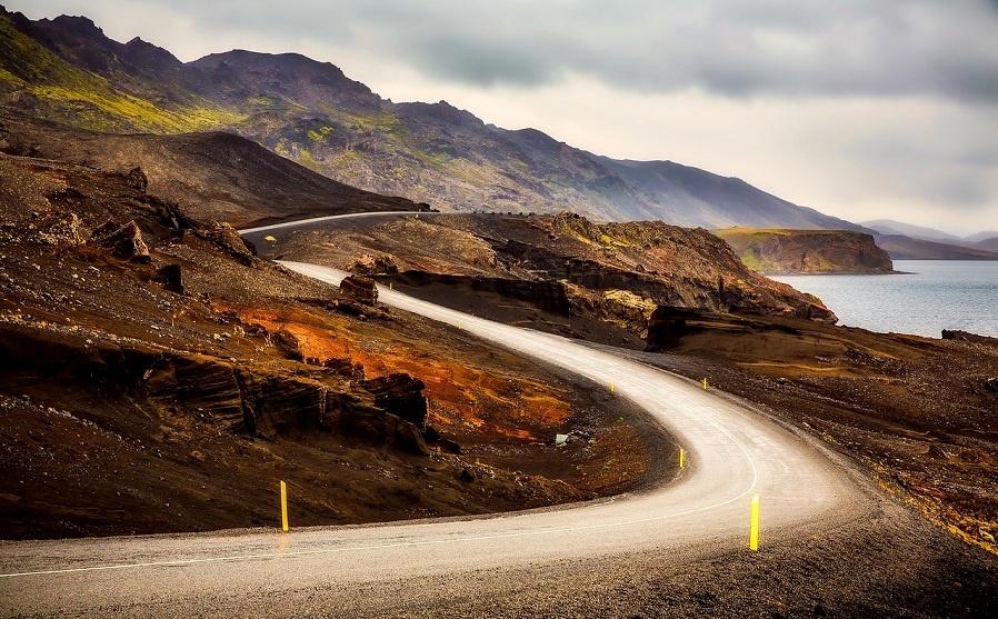
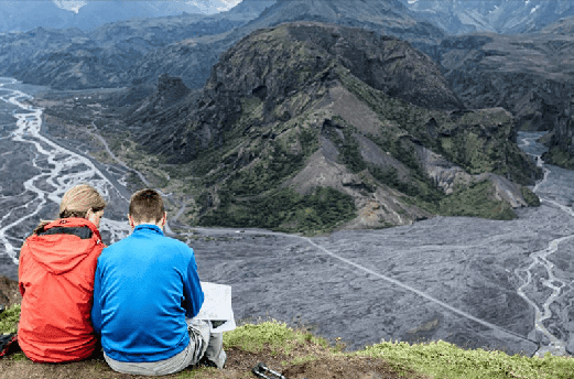
Iceland is a land of contrasts, where powerful waterfalls tumble over cliffs, glaciers stretch as far as the eye can see, black sand beaches meet turquoise waters, and volcanic landscapes rise dramatically against the skyline. Planning a trip here can feel overwhelming, especially for first-time visitors, as the country’s natural attractions are widespread and diverse.
Our interactive Iceland attractions map is designed to help you visualize the country and plan a complete itinerary. From the Golden Circle to the South Coast, East Fjords, North Iceland, and the West, every point on the map links to detailed information about each site, nearby accommodations, transport options, and suggested tours. This map allows you to plan by region, by day, or according to your interests, whether you’re seeking adventure, relaxation, photography opportunities, or cultural experiences.
Using the map, you can:
-
Identify must-see landmarks and hidden gems
-
Estimate driving distances and times between attractions
-
Optimize your route to minimize travel and maximize sightseeing
-
Access local tour options, accommodation recommendations, and travel tips
No matter your travel style—self-drive, guided tour, or a combination—this map is an essential tool for navigating Iceland’s incredible landscapes efficiently.
Top Regions in Iceland
Iceland is divided into regions, each with unique natural beauty and cultural attractions:
-
Golden Circle: Home to Þingvellir National Park, Geysir hot springs, and Gullfoss waterfall, perfect for a first-time visitor.
-
South Coast & Vik: Features dramatic waterfalls, glaciers, black sand beaches, and small coastal villages.
-
East Fjords: Known for picturesque fjords, charming fishing towns, and wildlife spotting opportunities.
-
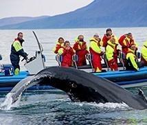
North Iceland & Akureyri: The capital of the north, whale-watching in Eyjafjörður fjord, volcanoes, and geothermal activity.
-
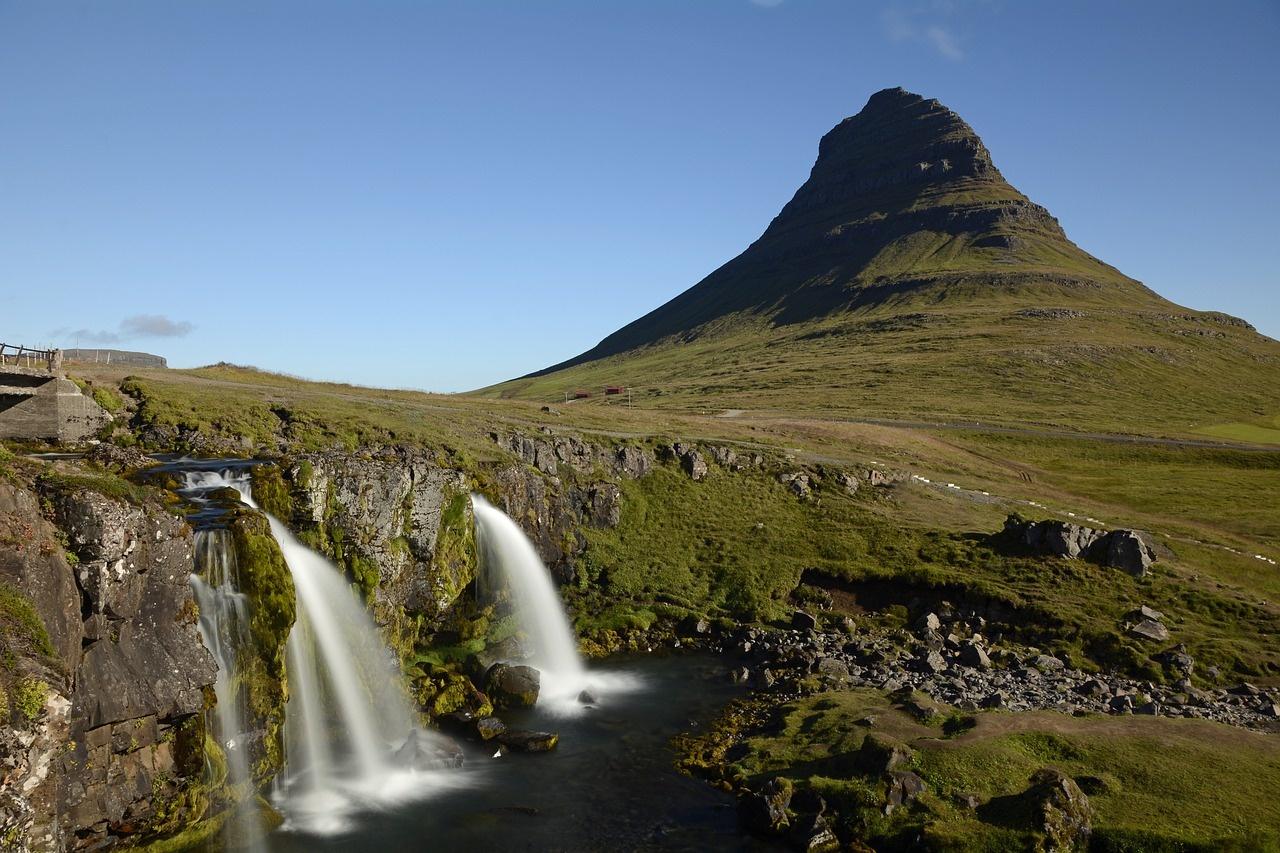
West Iceland & Snæfellsnes Peninsula: Stunning volcanic landscapes, lava fields, waterfalls, and the iconic Snæfellsjökull glacier.

Must-See Attractions on Your Map
-
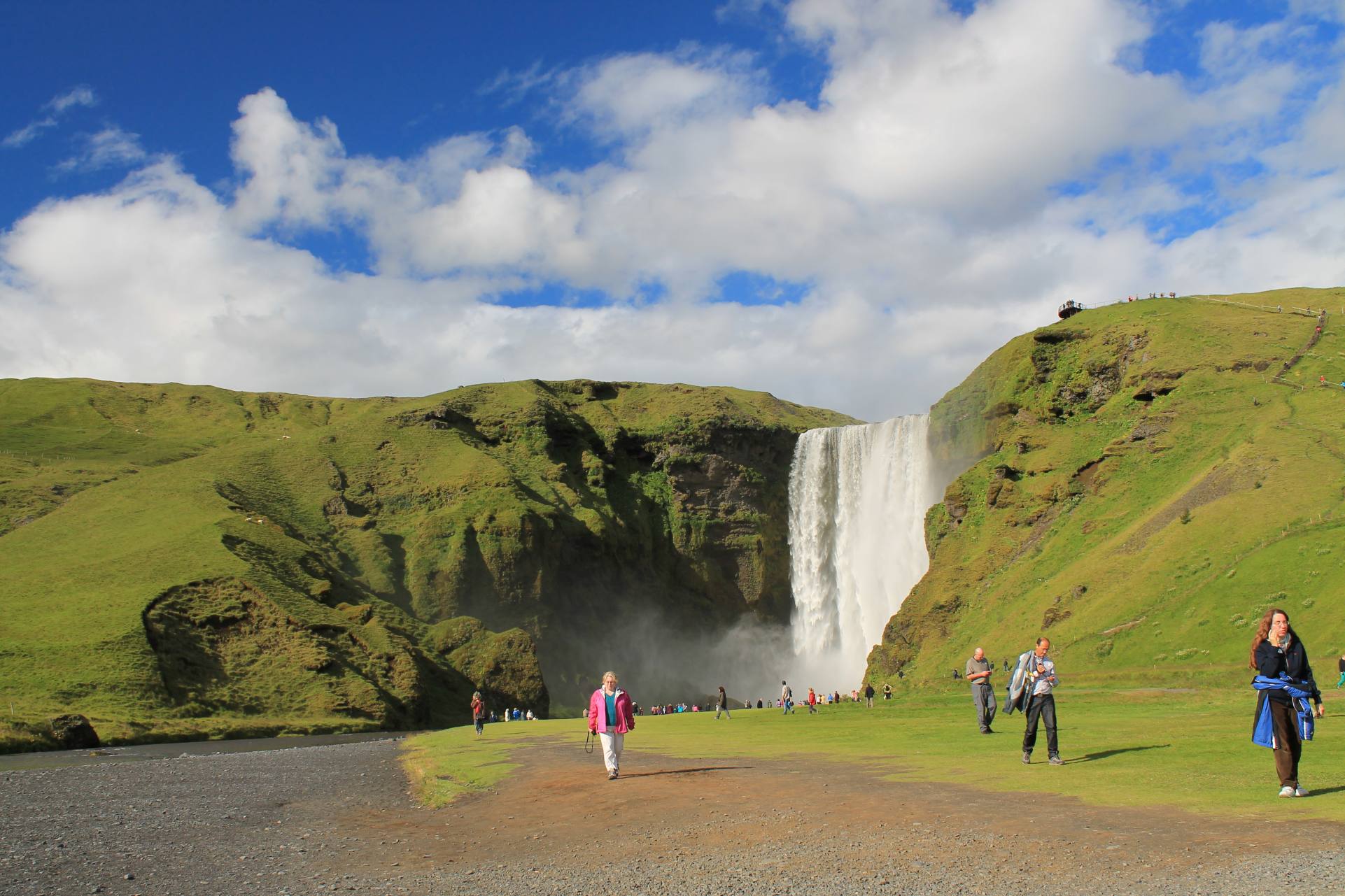
Waterfalls: Gullfoss, Seljalandsfoss, Skógafoss, Dettifoss, Goðafoss, Hengifoss, Barnafoss, Hraunfossar
-
Glaciers & Ice Caves: Vatnajökull, Skaftafell, Jökulsárlón Ice Lagoon
-
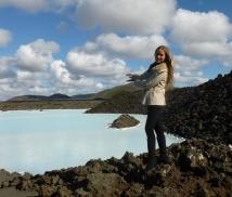
Geothermal & Lagoons: Blue Lagoon, Secret Lagoon, Sky Lagoon, Mývatn Nature Baths
-
Volcanoes: Hekla, Eyjafjallajökull, Snæfellsjökull, Askja
-
Beaches & Coastal Sites: Reynisfjara, Diamond Beach, Dyrhólaey, Vík cliffs
-
Other Natural Wonders: Lava fields, geothermal areas, craters, puffin colonies, fjords
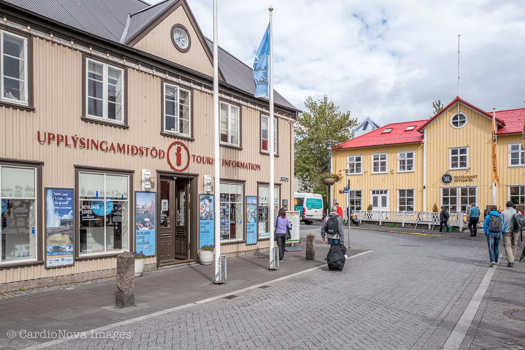
- Tourist Information Center: Located in the city center, perfect for maps, tips, and bookings. Aðalstræti 2, 101 Reykjavík Tel: (+354) 590 1550
This email address is being protected from spambots. You need JavaScript enabled to view it.
Clothing & Gear Rentals: If you prefer not to pack heavy winter clothing or outdoor equipment, you can rent it in Reykjavík:
- Iceland Cover – Bankastræti 5, 101 Reykjavík | Outdoor clothing & camping gear rental.
- Gangleri Outfitters – Vatnsstígur 6b, 101 Reykjavík | Parkas, boots, and hiking gear.
- 66°North Rent Service (selected stores) – Kringlan Shopping Center or Laugavegur main store | Quality jackets and layers.
Emergency Number: Dial 112 for police, ambulance, or fire emergencies anywhere in Iceland.
How to Use the Map Effectively
-
Driving Distances & Times: The map indicates approximate driving times between locations, but weather and road conditions can impact travel.
-
Accommodation Planning: Each attraction includes nearby hotels, guesthouses, or campsites.
-
Route Optimization: You can group attractions by region or by day to make the most efficient itinerary.
-
Off-the-Beaten-Path Suggestions: Hidden waterfalls, remote fjords, and lesser-known viewpoints are highlighted.
-
Tour Integration: Many points link directly to tours, excursions, and activities like glacier hikes, ice cave tours, whale watching, and Northern Lights trips.
Tips for Traveling Iceland
-
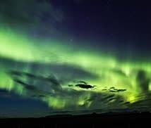
Best Time to Visit Each Region: Winter for Northern Lights, ice caves, snow landscapes; summer for puffins, long daylight hours, and accessible highlands.
-
Road Conditions: Check Icelandic Road and Coastal Administration updates for F-roads, highlands, and gravel roads. 4×4 vehicles recommended for highlands and certain areas.
-
Weather Awareness: Icelandic weather changes rapidly. Always be prepared with waterproof clothing, layers, and proper footwear.
-
Safety & Emergency Numbers: Dial 112 for police, ambulance, or fire emergencies anywhere in Iceland.

FAQ – Iceland Map Attractions
-
Can I plan a self-drive tour using this map?
Yes, the map provides driving distances, times, and links to accommodation and activities, making it perfect for self-drive planning. -
Are all attractions accessible year-round?
Not all. High mountain roads (F-roads), ice caves, and some remote sites are seasonal and depend on weather conditions. Always check accessibility in advance. -
Can I access the map offline?
The interactive features require an internet connection, but you can download screenshots or use offline maps from official Icelandic tourism apps. -
Does the map include tour recommendations?
Yes, every major attraction includes links to recommended local tours, activities, and practical information. -
Are travel times accurate?
Times are approximate and can vary depending on weather, road conditions, and traffic.
Important Note: All information provided by ISLANDIA s.r.o. is for informational purposes only. Travelers must confirm details with local service providers. Iceland is a living, dynamic natural environment, and conditions can change rapidly due to weather, natural events, or other unforeseen circumstances. ISLANDIA s.r.o. is not responsible for cancellations, delays, or disruptions caused by factors beyond its control. ID-1111